Geomatics Services
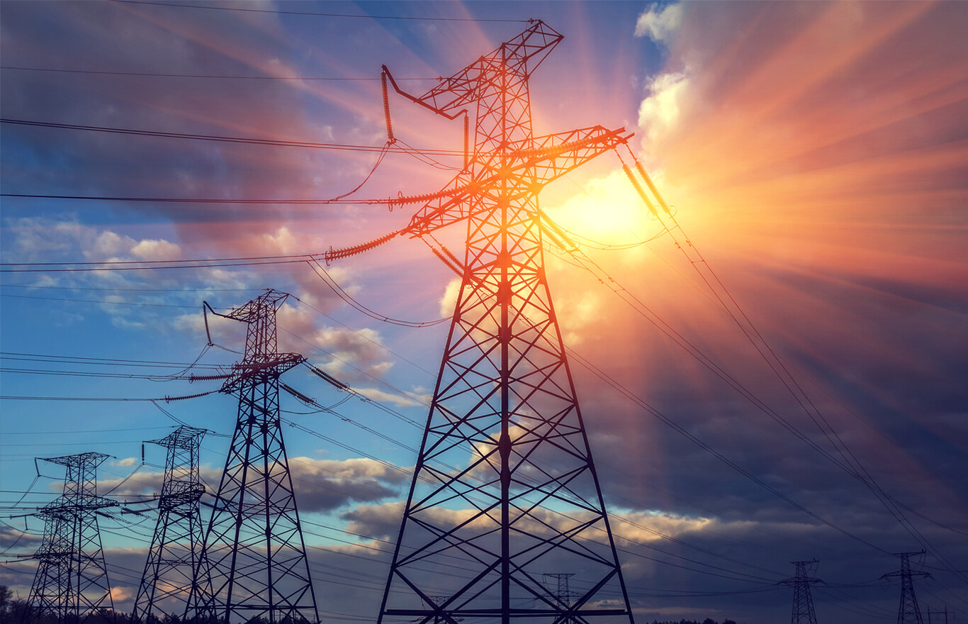
The way we develop resources in Alberta varies greatly, from enhanced energy recovery to greenfield renewable projects. A unique set of skills and knowledge is required. At Third Rock, we understand the existing infrastructure from decades of working with the province’s energy providers.
- Site/Route Evaluations and Selection
- Topographic and cadastral surveys
- Right of Way design, construction, and maintenance surveys
- Well Site and Oil Sands Surveys
- 3D Scanning, As-built, remote sensing
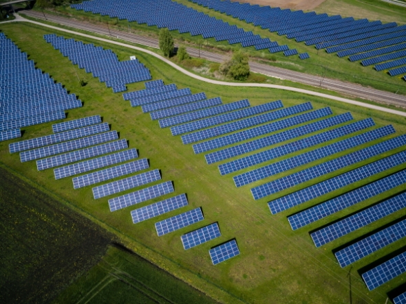
Renewable Energy
Our most current experience with a solar energy project included site evaluation and selection in Western Canada, topographic and legal surveys, wetland determination, high-resolution georeferenced aerial photography, mosaic mapping, and plan registration. We proudly attended regulatory meetings with our preliminary design in hand, on behalf of our client, where we received accolades from the municipality. Please feel welcome to contact us and allow us to share this advantage with you.
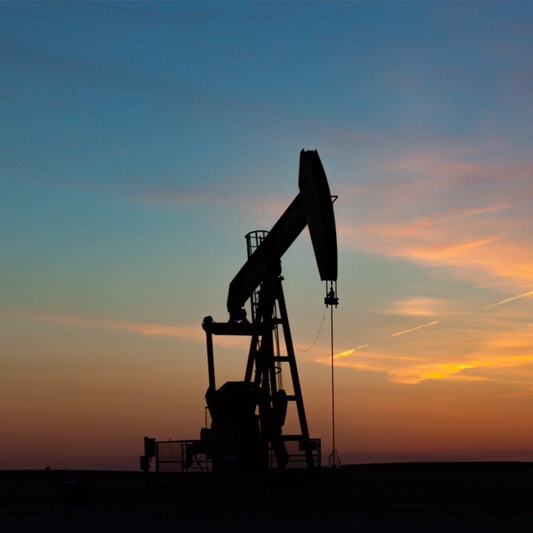
Resource Development
- Spatial Data Compilation & Management
- Topographic Surveying and Mapping
- Wellsite & Pipeline Surveys
- Disposition Planning & Surveys
- Prelim, Layout, & As Built Surveys
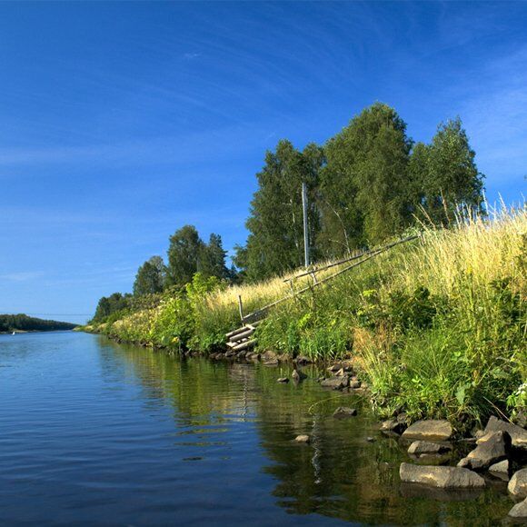
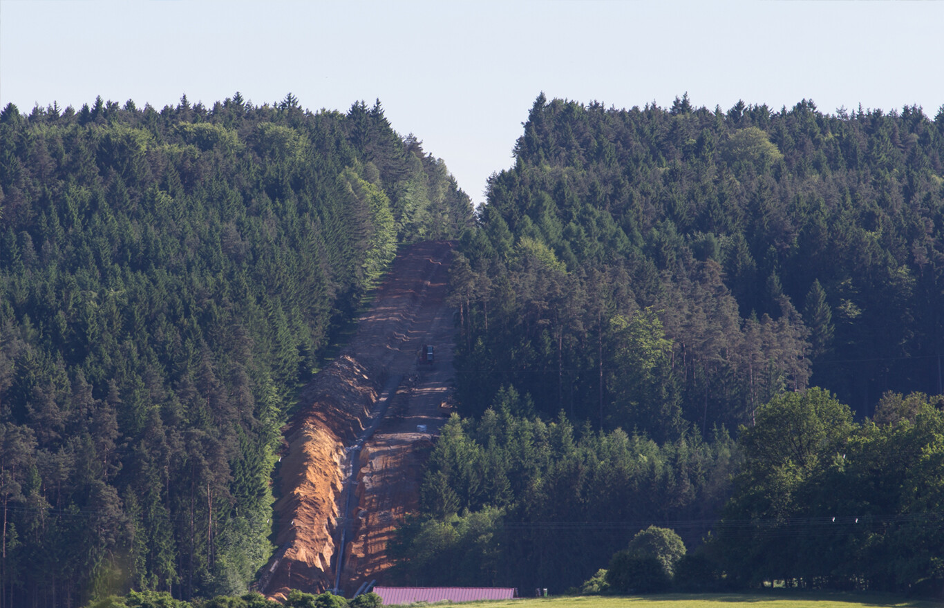
Watercourse Crossing Surveys
Watercourse Crossing Surveys reveal a depth of cover along the profile of your pipeline. We will locate the pipeline through the body of water and provide appropriate information to determine areas of concern. Our control network will allow for monitoring through the life cycle of the asset.
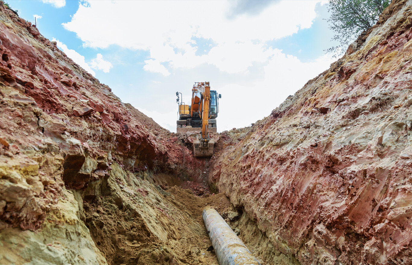
Dig Site Surveys
Maintaining Alberta’s existing pipeline infrastructure is key to our future. Using all data available to determine an accurate location of pipeline anomalies requires data and an understanding of how records were built. We will perform center line surveys, along with ties to AGM locations, to calculate the best position for dig site locations. Dig Site plans show surveyed information such as safe work area, all buried facilities, topography, and legal right of way boundaries.
Better Projects
Even when we are in the office, our hearts are in the field. We spend our collective energy gathering, interpreting, and delivering a comprehensive picture, tailored to the specific needs of your project. This adaptive process includes acquiring information from a multitude of sources found underground, on site and online, in the sky and in orbit. We know that the best decisions are made when the right information is available.