Geomatics &
Land Surveying
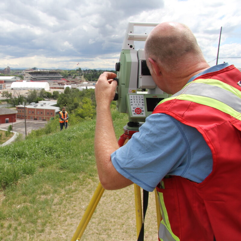
Even when we are in the office, our hearts are in the field. We spend our collective energy gathering, interpreting, and delivering a comprehensive picture, tailored to the specific needs of your project. This adaptive process includes acquiring information from a multitude of sources found underground, on site and online, in the sky and in orbit. We know that the best decisions are made when the right information is available. Boundary determination can be done with a shovel or a satellite, call us today to discuss your project and how we can scope and elevate your goals for the best possible outcome.
Planning & Consulting
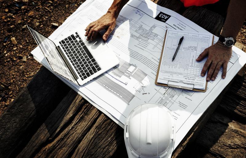
Projects built with a central information and design model can reduce their overall costs by 30%. This is achieved by acquiring and managing the right information at the right time and moving high impact decisions as far upstream as possible. We have the tools, workflows, and experience to bring this geospatial advantage your project. Give us the opportunity to show you how these methods can save your project time, costs, and risks.
Geographic Information Systems & Management
The geospatial revolution is well underway and is visible in everything from GPS-guided heavy machines to extremely selective marketing campaigns. Using the same methods and technology we can place you and your project at the center of a data-rich environment, tailored to your needs. Designing projects has never been more rewarding or efficient! Contact us today to talk about your project.
5 Star Review “Reliable. Great customer service. Work was done as requested within the timelines provided. Thank you, for the detailed answers to my questions. And for the professional quality of your completed reports. Thank you, Third Rock”
“Splitting my time between the field and office allows me to see that our quality remains high in all aspects of our work, and it helps me remember how much I love land surveying!”
“As a profession, Land Surveyors place the greatest amount of importance on public interest. Simply put, we will draw the line precisely where it belongs, without bias for our client or their neighbor.”
5 Star Review “Quick and painless to get my Real Property Report updated. Thanks for the great communication and fast turnaround!”
“Land surveyors can spend as much time reading legislation, bylaws, and engineering documents as we spend in front of an instrument in the field or calculating coordinates for a subdivision. We are mathematicians, historians, project managers, advocates, engineers, and even chainsaw operators!”
“One does not drive up to Edmonton. In terms of elevation, Calgary is 400m higher than Edmonton.
Therefore, one drives down to Edmonton and from there, up to Calgary.”
Aerial Mapping & Photography (UAV)
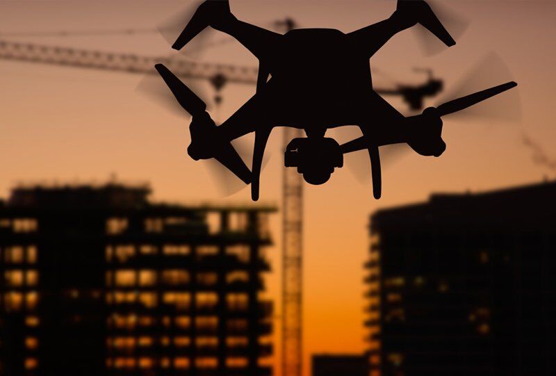
When the time comes to acquire imagery for your land development project, consider the value of creating high-resolution images. We can capture and render a current georeferenced set of images that show exactly what was on the ground when the project starts. A return flight can show progress and final conditions of your project in a way that only a picture can. We are licensed UAV Operators and have completed projects across Western Canada for land development, renewable energy planning, and utility maintenance.
Elevate your imagination and let us show you how easy it can be to include this powerful technology and product in your project today.


