Geographic Information
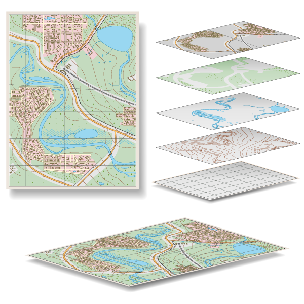
Geographic Information Systems (GIS) are relational databases which can populate maps, plans, and project visualizations. These can be shared with your internal teams, regulators, stake holders, or the public. We often provide proposed subdivisions in GIS format and drape them over existing terrain and aerial images, so the client can understand how the current options will impact the construction costs and the final outcome. In more complex situations we can layer up municipal, regulatory, and environmental information for a more comprehensive view. How complex is your next project?

Harmonization
Access to spatial information is often limited to the business center that ordered the work and is using the data. Use of Geomatics technology and an understanding of the industry landscape enables Third Rock to create an adaptive process unique to each project. This process will allow for an efficient and practical use of spatial data across the organization.
Technology
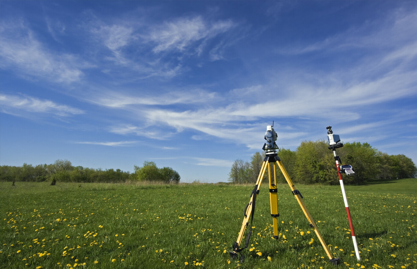
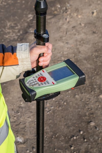
Information Management starts with a question, which triggers a search for the right data which could require a simple download, boots on the ground, or satellite data acquisition. Technology empowers your project.
Cost Efficiency
The best decisions are made from a place of knowledge. Through our use of Geomatics technology and stakeholder harmonization, Third Rock will bring together an adaptive information system that will inform project’s decision makers. Seeing is knowing. Contact us today to discuss how we can make the best of your next project.